
How Drones Are Changing Emergency Response And Disaster Relief In Colorado
When emergencies strike in Colorado—whether in the Front Range, the high country, or along the Eastern Plains—seconds matter. Wildfires move fast. Floodwaters rise unexpectedly. Search-and-rescue teams must navigate dangerous, hard-to-reach terrain. City officials and emergency coordinators face enormous pressure to make rapid, informed decisions.
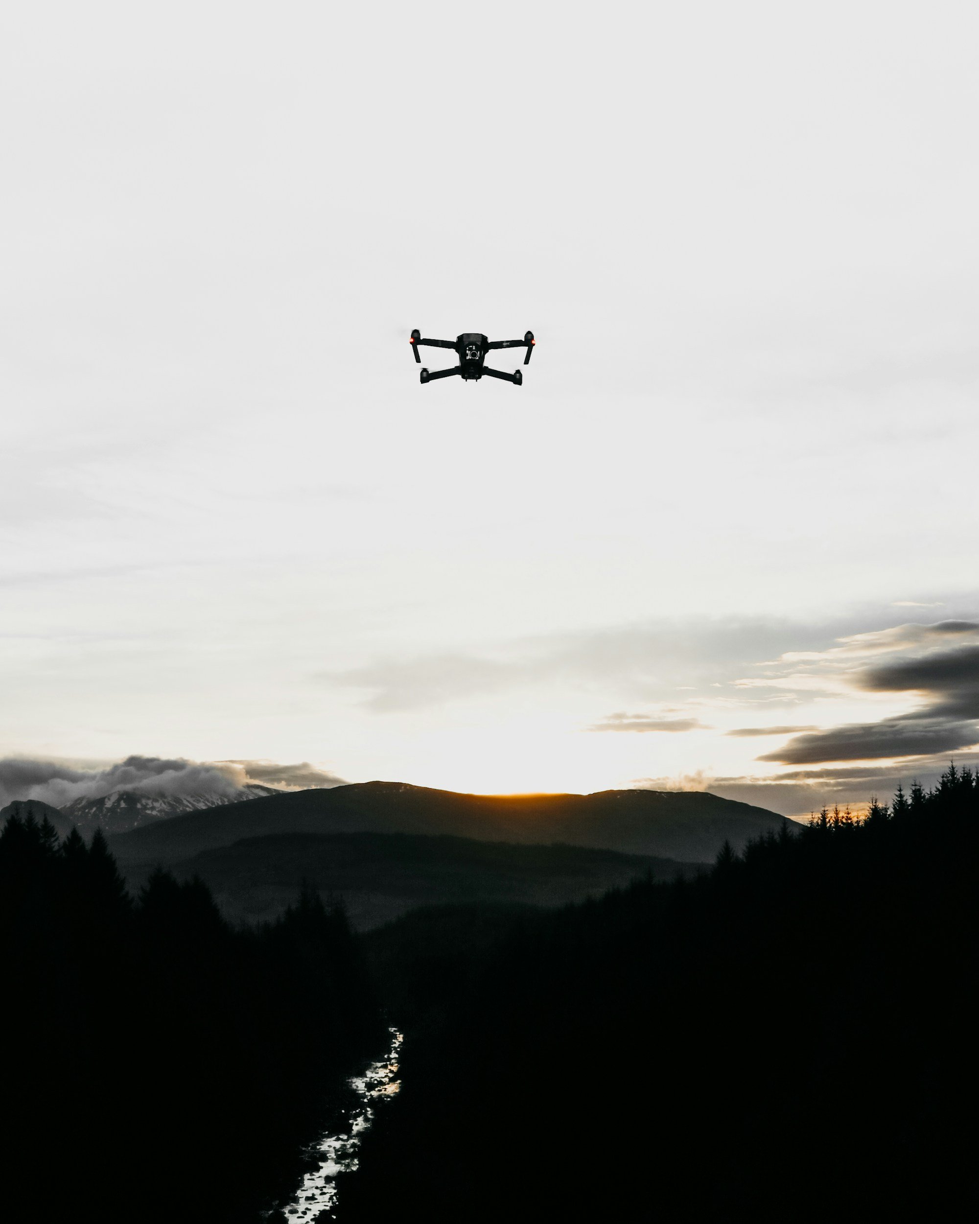
That’s where aerial drone technology is making a dramatic difference.
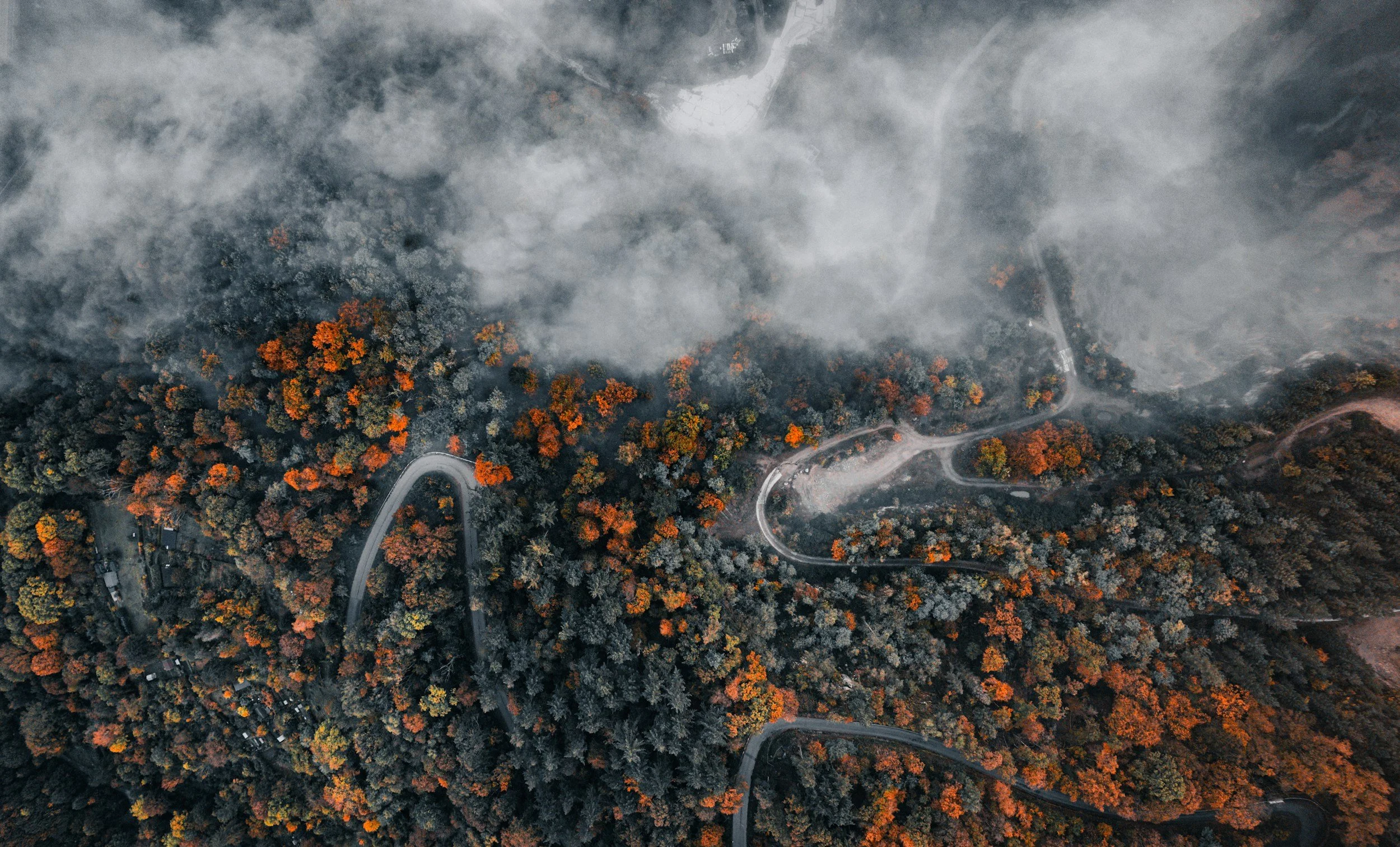
High-resolution drone video, photography, and thermal imaging provide a safer, faster, and more cost-effective way to assess risks, monitor developing threats, and support first responders. And for agencies and organizations across Colorado, KloudPilot offers FAA-licensed, insured, professional drone services designed for emergency response and disaster-relief needs.
Below, we break down how drones are reshaping crisis management—and how your team can take advantage of this powerful tool.
Why Drones Are Becoming Essential in Emergency Response
The rise of professional drone operations isn’t just a trend—it’s a practical solution to long-standing challenges. For officials and organizations responsible for public safety, drones offer:
Instant aerial awareness without endangering personnel
Real-time 4K footage for faster decision-making
Thermal and infrared imaging that sees what the human eye cannot
Cost-effective monitoring, even in remote or dangerous locations
In Colorado’s dynamic landscape—mountains, canyons, forests, and expanding urban areas—these advantages are especially valuable.
Key Benefits of Using Drones for Emergency & Disaster Operations
1. Faster, Safer Situational Awareness
Traditional aerial assessments often require helicopters, which are expensive, slow to mobilize, and risk crew safety—especially during wildfires or storms. Drones can be launched in minutes, providing overhead visuals without placing responders in harm’s way.
KloudPilot’s 4K drone video helps incident commanders quickly evaluate fire lines, flood zones, structural damage, and search areas. When every second counts, this speed saves lives.
2. Thermal & Infrared Imaging for Wildfire and Search-and-Rescue
Thermal mapping is becoming one of the most powerful tools in Colorado wildfire response.
Infrared drones can detect:
Hidden hot spots
Underground smoldering
Heat signatures from missing persons
Active fire movement obscured by smoke
This type of imaging is essential in the Rocky Mountains, where rough terrain makes ground monitoring difficult. Having thermal capabilities on a drone help firefighters and emergency managers gain a clearer, safer picture of rapidly changing conditions.
3. Improved Coordination Across Agencies
Emergencies often involve several groups—police, fire, public works, emergency management, utilities, and private partners. Drone footage gives everyone a shared visual reference, reducing confusion and speeding up coordinated action.
Real-time footage and maps allow multiple departments to:
Plan evacuation routes
Identify structural hazards
Monitor crowd and traffic patterns during events
Allocate resources efficiently
Colorado’s fast-growing communities benefit significantly from this kind of unified situational oversight.
4. Cost-Effective Monitoring for Local Governments and Businesses
Helicopter flights can cost thousands of dollars per hour. Ground crews require hours of labor to survey damage or infrastructure. Drones offer a dramatically more affordable alternative—one that still provides high-quality data.
For small towns, rural fire districts, and local businesses, professional drone services deliver big-agency capabilities without big-agency budgets.
5. Access to Remote or Difficult Terrain
Steep slopes. Washed-out roads. Heavy snow. Thick forest. The very features that make Colorado spectacular can also make it challenging during emergencies.
Drones easily fly over:
Burned or unstable structures
Avalanche zones
Flooded areas
Remote trail systems
This access helps emergency teams keep personnel safe while still collecting critical information.
Real-World Scenarios: How Drones Support Colorado Agencies
Scenario 1: Wildfire Hot-Spot Detection in the Rockies

Imagine a lightning-sparked wildfire in a canyon near the foothills. Fire crews extinguish the main blaze, but smoldering pockets could reignite overnight. Deploying a thermal drone can help you identify several unseen hot spots along the ridge. Crews neutralize them before sunrise—preventing flare-ups and protecting nearby homes.
Scenario 2: Flood Damage Assessment in the Front Range

After heavy rains, a small city experiences flash flooding that damages bridges and roadways. Instead of sending inspection teams into unstable areas, the city requests a drone specialist to do rapid aerial mapping and 4K documentation. Decision-makers get a clear view of damage within hours, allowing them to prioritize repairs and keep residents safe.
Why Choose KloudPilot for Emergency & Disaster Operations?
KloudPilot provides professional, FAA-licensed and insured drone services throughout Denver, the Front Range, and the Rocky Mountain region. Our team specializes in:
4K aerial video and photography
Rapid deployment during emergencies
Detailed documentation for agencies and local businesses
We understand the unique environmental challenges Colorado faces—and we’re equipped to help governments and organizations respond more efficiently and effectively.
Strengthen Your Emergency Response Capabilities with KloudPilot
Whether you're preparing for wildfire season, planning citywide emergency protocols, or looking to protect your business during natural disasters, aerial data can make your operations faster, safer, and more informed.
Now is the time to integrate professional drone services into your emergency strategy.
Contact KloudPilot today to:
- request a consultation
- book a drone shoot
- get a quote
We’re ready to support Colorado communities with the aerial insights they need—before, during, and after an emergency.