
How Drones Are Transforming Environmental Monitoring And Conservation In Colorado
Across Colorado—from the rolling foothills of the Front Range to the rugged peaks of the Rocky Mountains—the need for accurate, timely environmental data has never been greater. Land managers, conservation groups, and environmental agencies face mounting challenges: climate-driven wildfires, shifting wildlife populations, watershed changes, habitat loss, and rapid development pressures.
Yet traditional monitoring methods often require long hours in the field, costly surveys, and risky travel over unpredictable terrain.
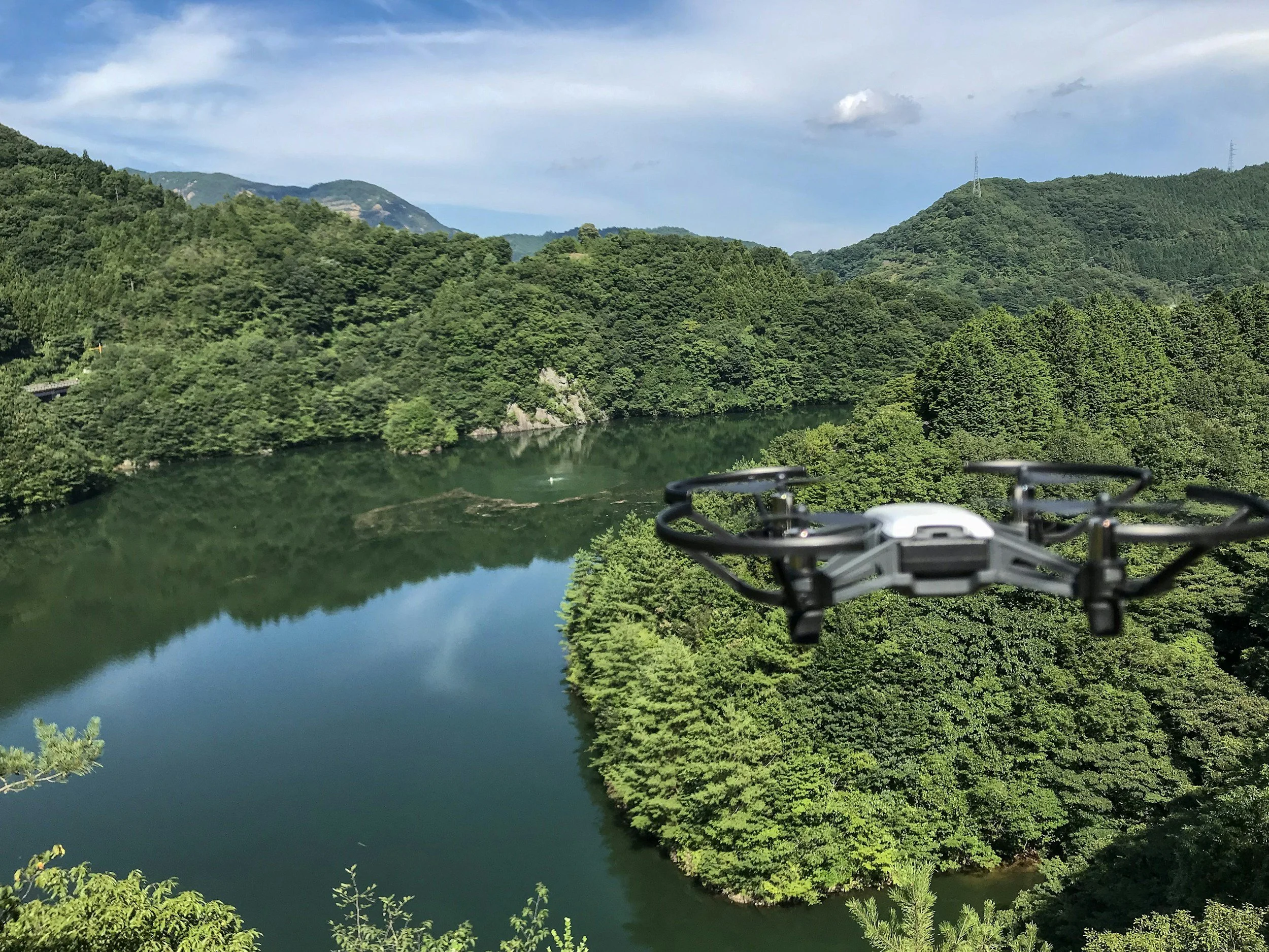
That’s where aerial drone videography and photography technology is reshaping what’s possible.
High-resolution drone video, photography, and 3D mapping offer a faster, safer, and more cost-effective way to study the environment. And here in Colorado, choosing a drone specialist like KloudPilot that has FAA-licensed and insured drone pilots will help you deliver professional-grade insights designed specifically for environmental monitoring and conservation work.
Below, we explore how drones are becoming essential tools for researchers, land managers, and agencies committed to protecting Colorado’s natural landscapes.
Why Drone Technology Is a Game-Changer for Conservation

Environmental work depends on accurate data—yet many ecosystems are difficult to study on foot or are too vast for ground-based surveys alone. Drones bridge that gap by providing:
Aerial perspectives that reveal patterns invisible from the ground
Time-efficient surveys of large or remote areas
Detailed 3D models for long-term monitoring
A cost-effective alternative to manned aircraft
For agencies tasked with protecting wildlife, forests, grasslands, rivers, and alpine ecosystems, drones offer a level of clarity and scale that traditional methods can’t match.
Key Benefits of Using Drones for Environmental Monitoring
1. Rapid Data Collection Over Large or Remote Areas
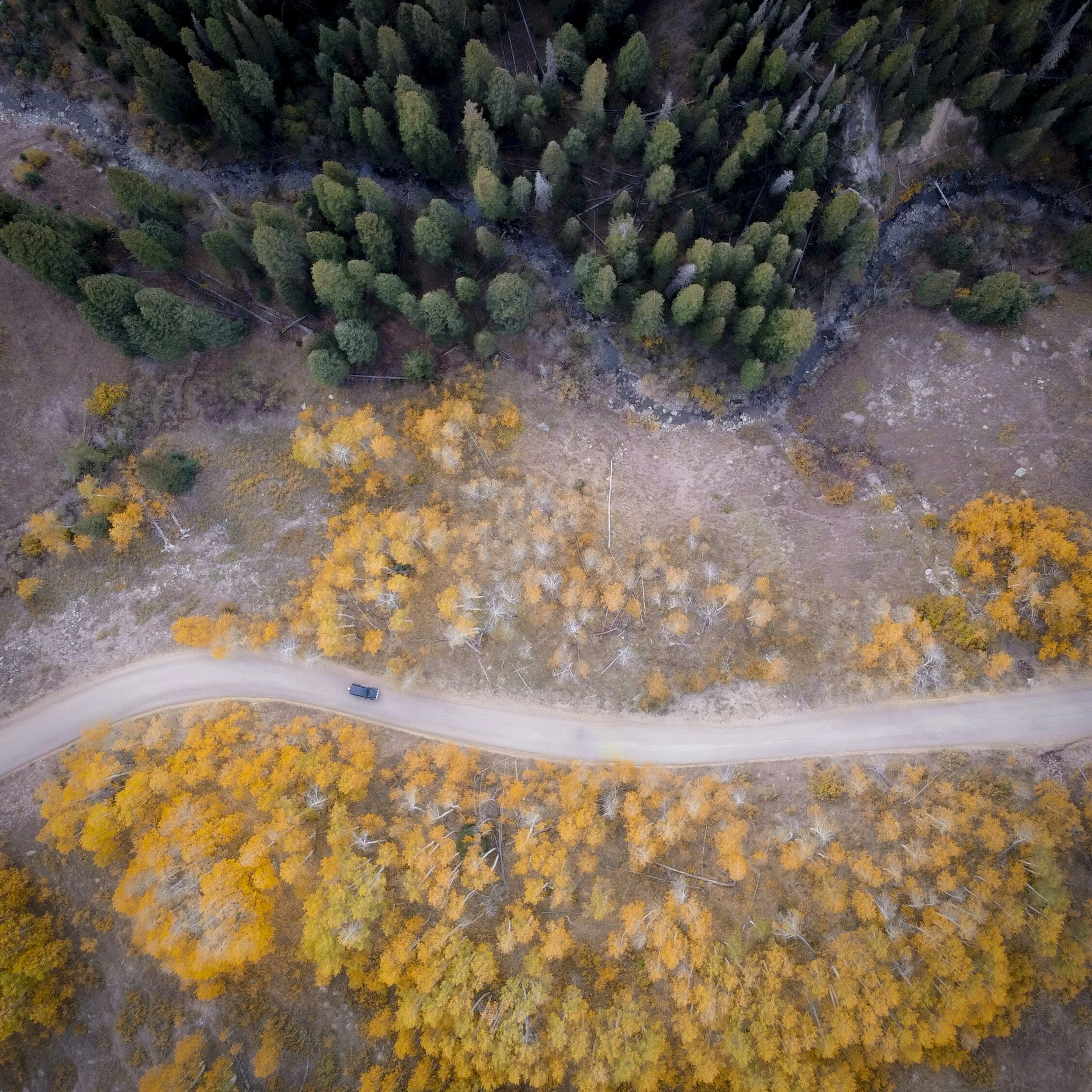
Colorado’s landscapes are breathtaking—but they can also be challenging and time-consuming to survey. Steep slopes, dense forests, sensitive habitats, and remote valleys make many areas difficult to reach.
Drones equipped with 4K cameras and mapping capabilities allow environmental teams to:
Monitor vast forests for signs of disease or insect damage
Survey alpine meadows without disturbing sensitive soil or wildlife
Assess watershed changes after major weather events
Aerial surveys by drones can cover areas in minutes that might otherwise take days of fieldwork.
2. Highly Detailed 3D Mapping and Modeling
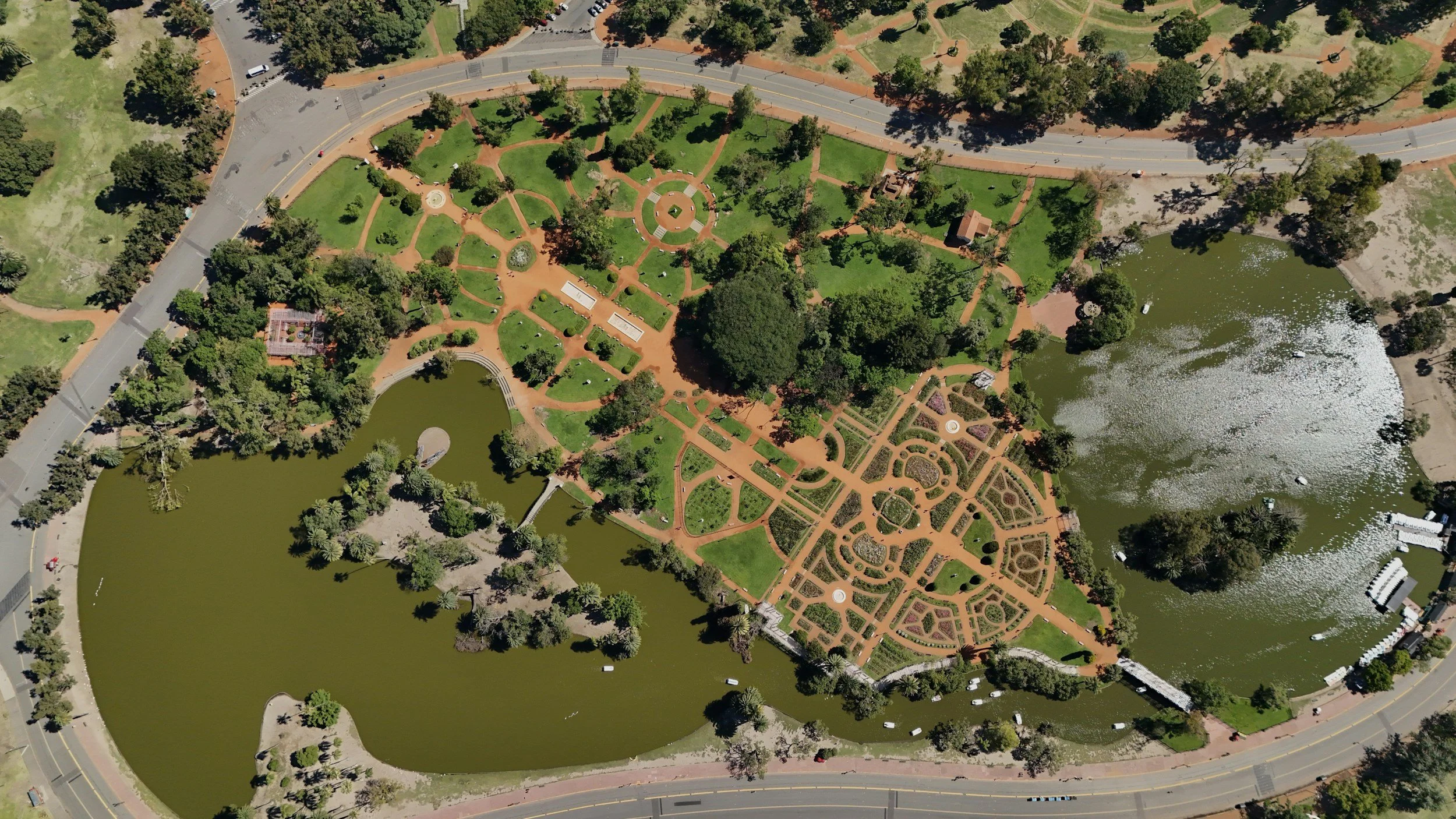
3D mapping is becoming an indispensable tool for environmental analysis. Using overlapping aerial images, drones create detailed digital models that show:
Elevation changes
Vegetation density
Erosion and sediment patterns
Habitat boundaries
These models help agencies track change over time, evaluate restoration progress, and make better-informed management decisions.
For Colorado’s dynamic ecosystems—where snowmelt, runoff, and seasonal growth vary dramatically—3D maps provide a reliable baseline for long-term monitoring.
3. Minimal Environmental Disturbance

Many traditional monitoring methods require hiking, driving, or operating heavy equipment in fragile environments. Drones offer a low-impact alternative.
They can fly quietly above:
Nesting areas
Riparian zones
Burn scars
Rare plant habitats
This reduces human disturbance, helping scientists collect accurate data while preserving the natural state of the ecosystem.
4. Improved Wildlife Observation
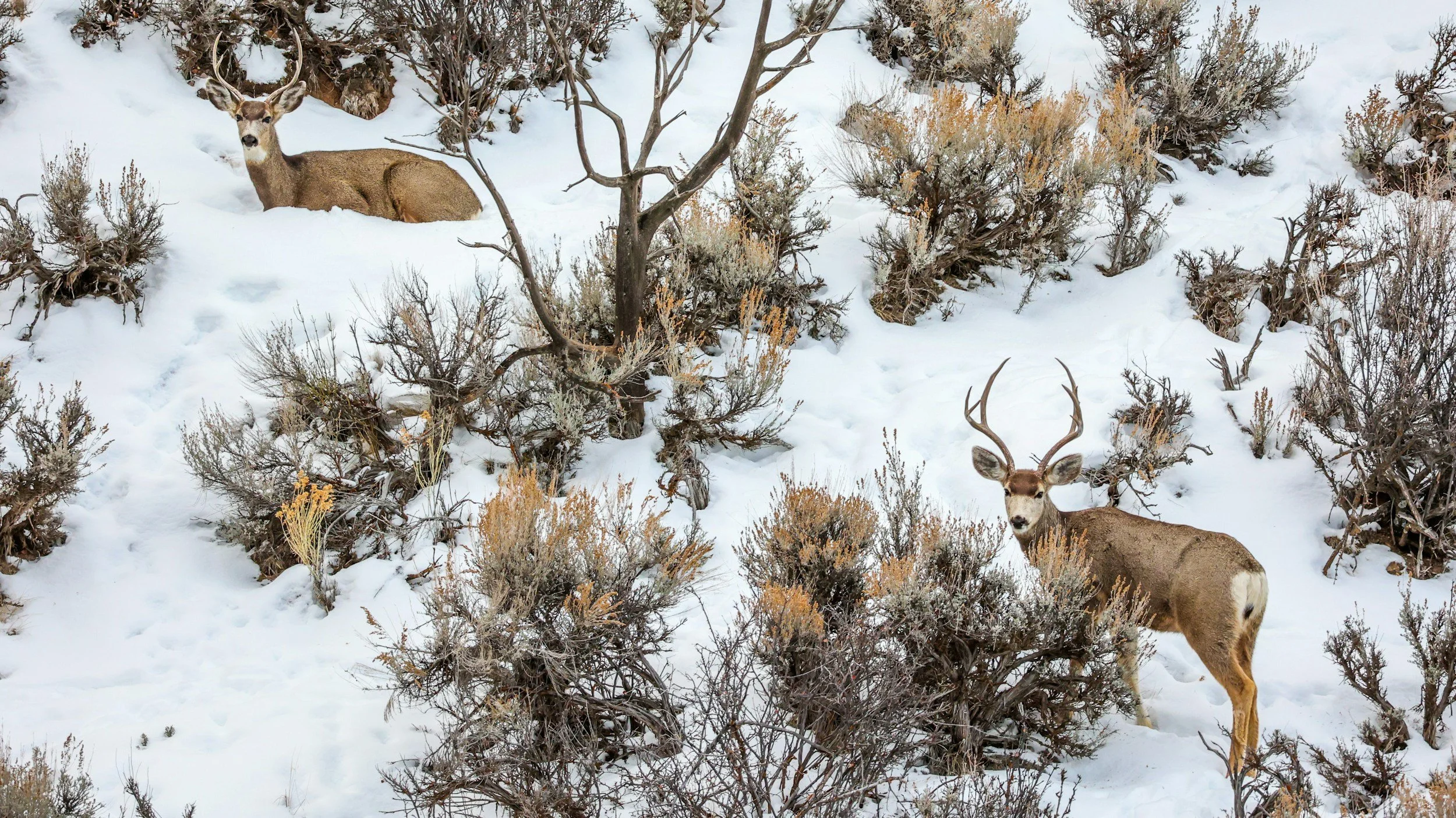
Monitoring wildlife from the ground can be slow, inefficient, and sometimes dangerous—for both animals and humans. Aerial surveys provide broader visibility while minimizing stress on wildlife.
Drones can help track:
Migration patterns
Herd distribution
Population changes
Nesting activity
Agencies working to protect Colorado’s elk, bighorn sheep, moose, raptors, and other species benefit from broader, more accurate observations—without intrusion.
5. Faster Response After Environmental Events
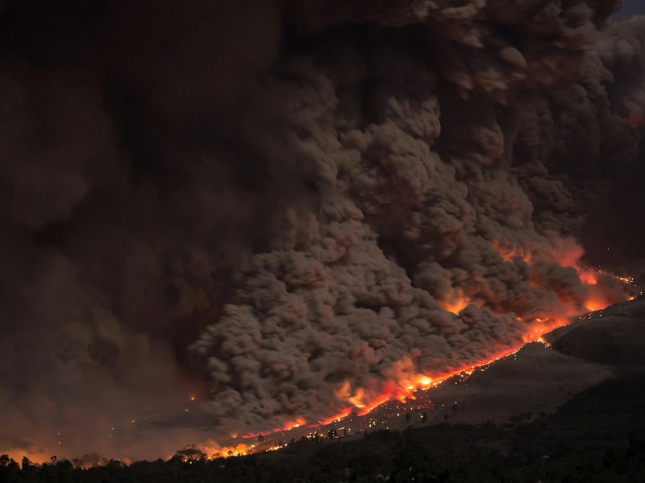
Wildfires, floods, avalanches, and landslides can dramatically reshape the landscape. Drones allow agencies to quickly evaluate:
Burn severity
Erosion risks
Water quality impacts
Infrastructure damage
Habitat loss
Rapid assessments help conservationists develop mitigation strategies and identify areas that require urgent restoration.
Real-World Scenarios: How Drones Support Conservation Efforts
Scenario 1: Post-Wildfire Vegetation Recovery in the Rockies
After a large wildfire, a land management agency wants to measure regeneration in high-elevation forests. Instead of deploying teams into unstable burn areas, they partner with KloudPilot. Within hours, the agency receives high-resolution aerial imagery and 3D maps showing vegetation density, hot-spot erosion risks, and potential wildlife impacts. This data helps guide reforestation and erosion control strategies.
Scenario 2: Watershed Monitoring in the Front Range
A conservation group is tracking sediment buildup along a creek feeding a major water reservoir. KloudPilot conducts a series of drone flights throughout the season, capturing aerial footage and elevation models. The result: accurate measurements of erosion, clearer insight into runoff patterns, and better planning for shoreline stabilization projects.
Why Environmental Agencies Choose KloudPilot
At KloudPilot, we specialize in capturing the natural landscapes that define Colorado. Our services support environmental agencies, conservation groups, research teams, and land managers who need accurate, reliable aerial data.
We provide:
4K environmental monitoring video and photography
Advanced 3D mapping and terrain modeling
Fast deployment across Denver, the Front Range, and the Rockies
FAA-licensed, fully insured drone pilots
Professional workflows tailored to scientific and conservation goals
Whether your team is tracking seasonal changes, assessing habitat health, or documenting restoration success, KloudPilot delivers the clarity and precision you need.
Protect Colorado’s Natural Places with KloudPilot
Colorado’s landscapes are changing—and your work is more important than ever. With professional drone imagery and 3D mapping, you can understand those changes more clearly, make data-driven decisions, and protect the ecosystems you manage.
Now is the perfect time to integrate aerial monitoring into your conservation strategy.
Contact KloudPilot today to:
- request a consultation
- book a drone shoot
- get a quote
Our team is ready to support your environmental mission with the aerial insights that matter most.